
Address: Kates Mountain Rd., Greenbrier State Forest, Greenbrier County, West Virginia
Latitude: N37-44-48 (37.7467)
Longitude: W80-19-20 (-80.3222)
Elevation: 3124 ft. (952 M)
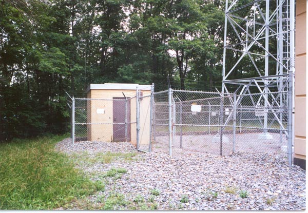
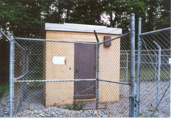
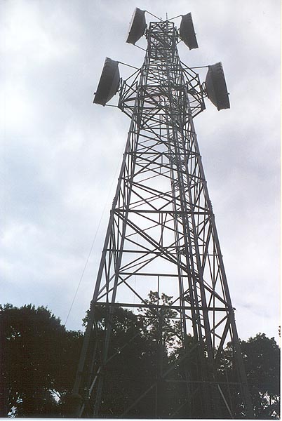
Kates Mountain linked the secret congessional relocation facility at the nearby Greenbrier resort hotel to the AT&T Long Lines microwave network. An underground cable connected the two sites.
Under construction
Photographed June 25, 2000. Select images to view larger version.
Updated on December 9, 2000 at 21:04 by Albert LaFrance